Menu
Home
Animals
Nature
Man-Made
Places
Maps of the World
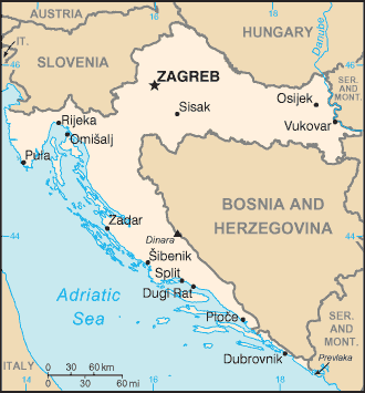
Map of Croatia
See the
List of All Country Maps
Do you have feedback, a comment or correction?
Let us know